DTPR is hosted here by

Studying street-level activity

Planning & Decision-making
De-identified Image
City of Boston
Picture of Numina Sensor being deployed

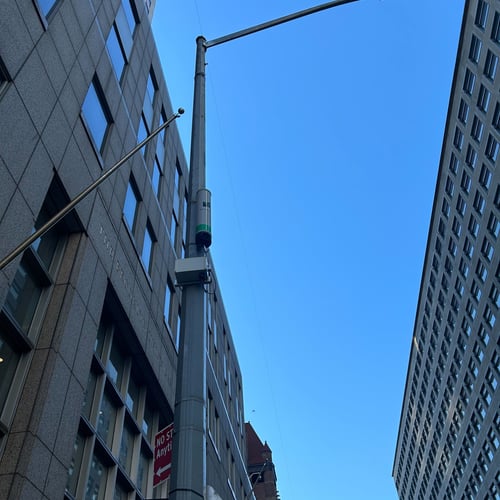
The City of Boston is using computer vision to measure the volumes and movement patterns of pedestrians, bikes, and other traffic between the Jackson T Square stop and the Southwest Corridor.

Learn more about the project on the City of Boston website

How does this technology make you feel?
Question 1 / 6
City of Boston

Who is accountable for this technology?

Planning & Decision-making

What is the purpose of this technology?

De-identified Image

What type of technology is this?

Spatial

What type of data is being collected?

AI System

How will this data be processed?

Available to the accountable organization

Who can access this data?

No data retained

How is this data stored?